ESSENTIAL SERVICES. VISIBLE PROGRESS. ACCOUNTABLE OPERATIONS.
Government Fleet Management That Keeps Cities Moving
Saphyroo connects service requests, routes, crews, vehicles, equipment and evidence in one platform, helping government and public works teams coordinate essential services across cities and communities.

- Service & areaSee the service, operating area and progress at a glance.
- Route coverageTrack completed work against what remains across each service area.
- Vehicles & equipmentSee where service vehicles and equipment are and how they are being used.
- Service exceptionsSurface blocked access, delayed work and other issues requiring attention.
- Prioritise urgent workAssess requests by urgency, location and service type.
- Track work to completionFollow each job from assignment through to completed service with supporting records.
- Control fleet & service costsKeep vehicles, equipment, utilisation and operating costs visible.
- Improve service visibilityGive operational teams and stakeholders a clearer view of progress across every service area.
Government Work Orders, From Request to Verified Completion
- 01
Assess & Prioritise
Capture each request, inspection or alert, then assess it by location, urgency and service requirement.
- 02
Plan & Prepare
Assign the right crews, vehicles and equipment, plan the work and make sure resources are ready before deployment.
- 03
Dispatch & Deliver
Send work directly to field teams and track progress as jobs move from assigned to completed.
- 04
Verify & Report
Capture supporting evidence, close completed work and maintain a clear record of service activity, performance and costs.
Route360
Plan Every Route Around the Work That Matters
Street & Area Based Planning
Plan work across roads, districts and service areas, with visibility over what has been completed and what remains.
Recurring Service Routes
Create repeatable routes for road inspections, cleaning, maintenance and other scheduled public services.
Vehicle & Service Requirements
Plan around vehicle type, road restrictions, access requirements and the way each service needs to be carried out.
Depot, Refill & Disposal Stops
Build depot returns, refuelling, material collection and disposal locations directly into the working route.
Dynamic Replanning
Adjust routes when roads close, priorities change or urgent work needs to be added while crews are already in the field.
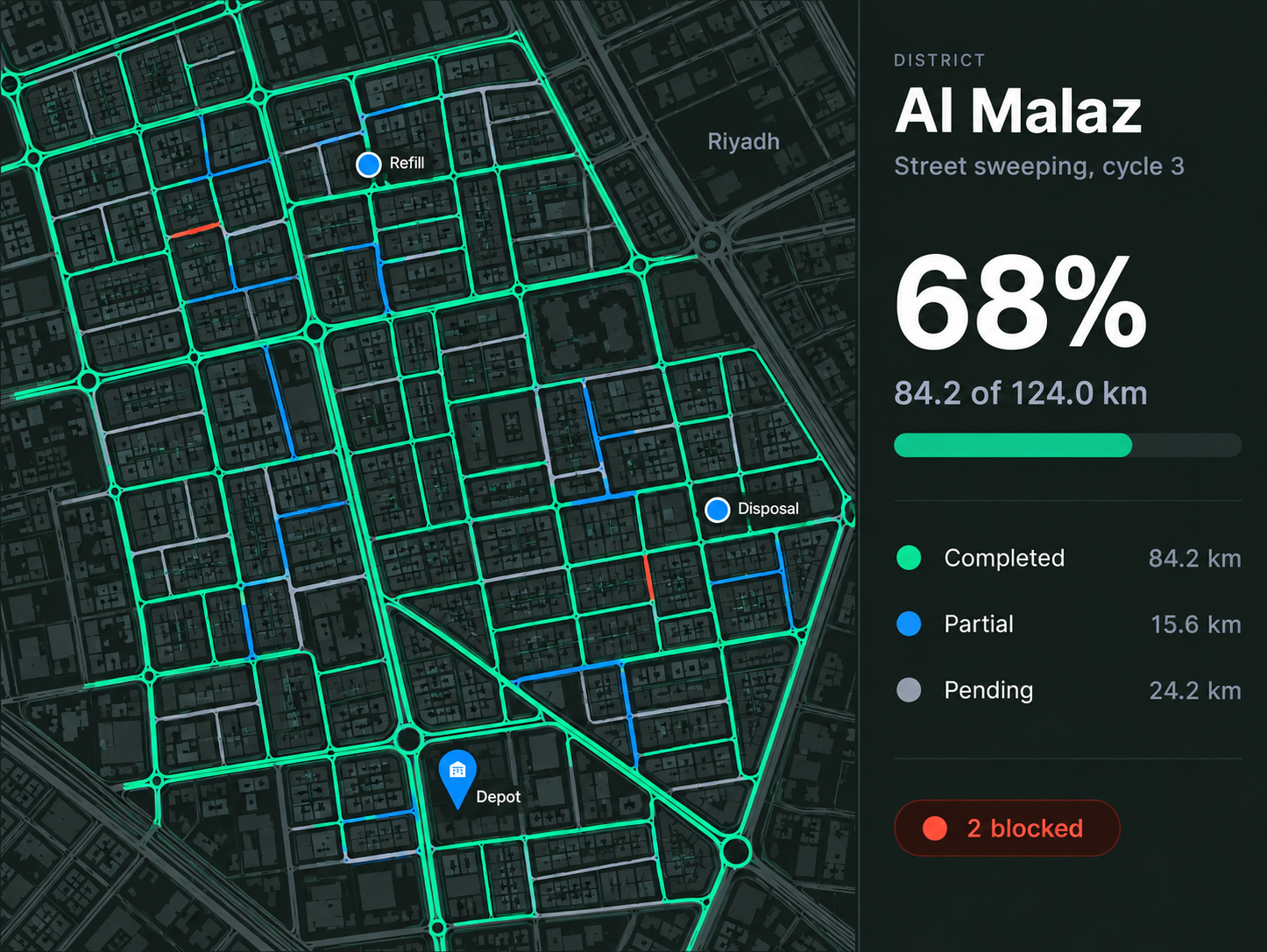
Public works operations control centre
Every Service. Every Area. One Operational View.
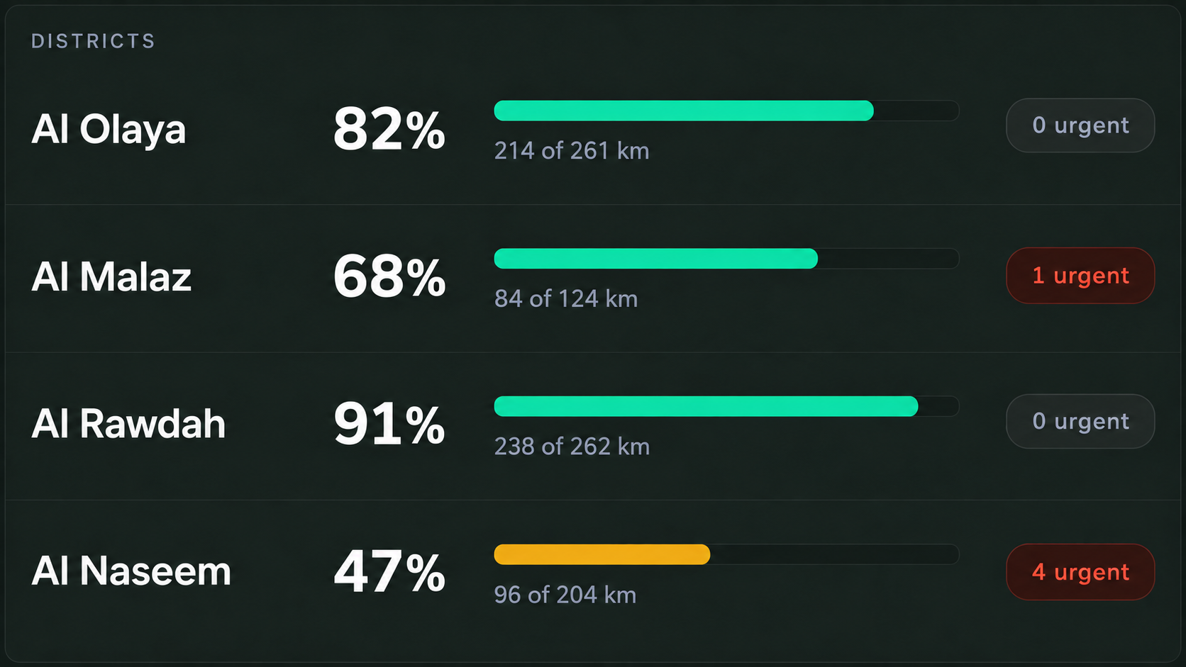
Coverage
See progress across every service area
Know what is complete, what is still underway and where attention is required across districts and operating areas.
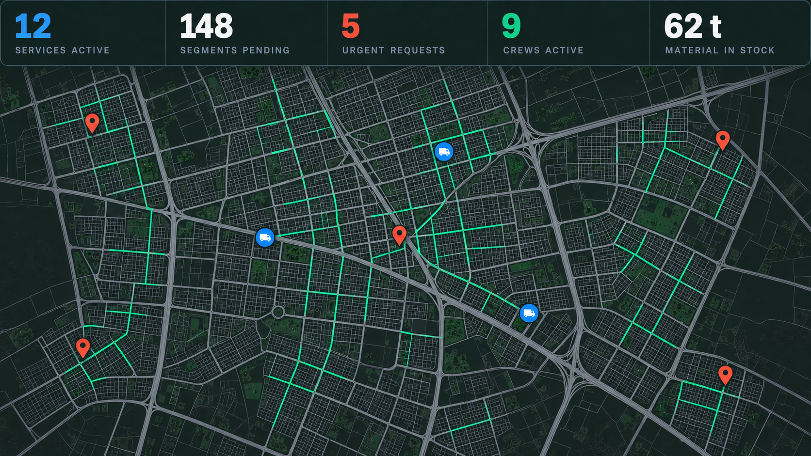
The day
Know what is happening today
See planned and active work, completed routes, outstanding jobs, urgent requests, active crews and available vehicles in one view.
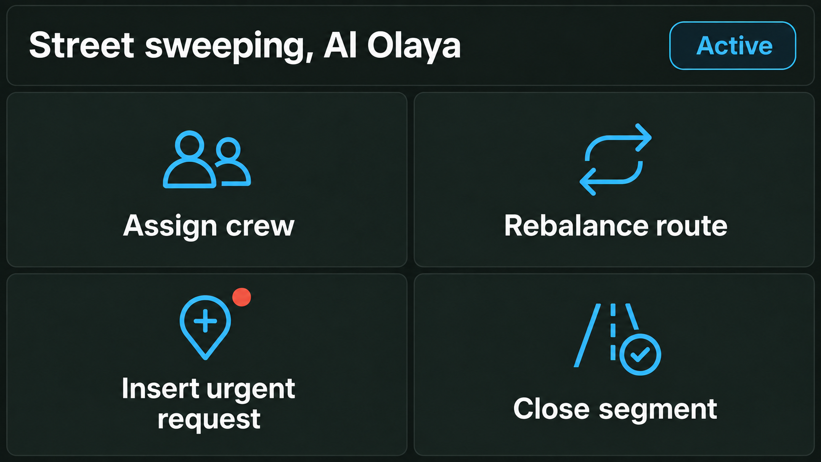
Respond as priorities change
Assign crews, rebalance routes, insert urgent work, redirect vehicles or dispatch replacement equipment as the day changes.
Keep a record of the work
Bring vehicle location, timestamps, job records and available camera footage together to support the record of when and where work was completed.
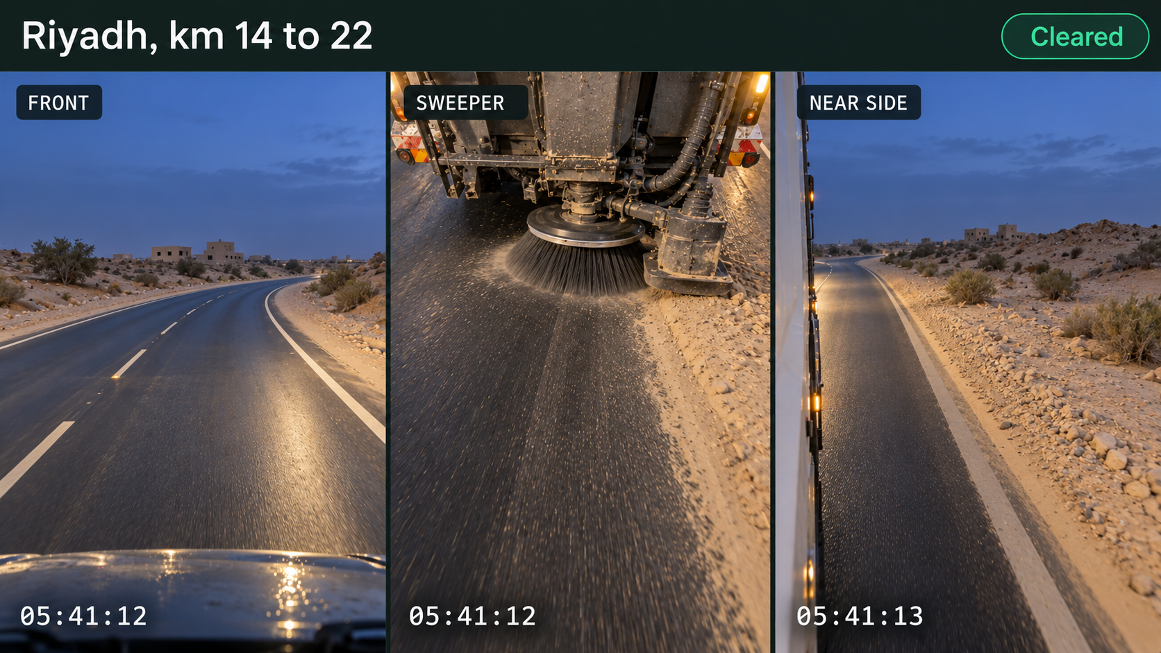
Keep stakeholders informed
Use current service information to provide clearer progress updates across operational teams, authorities and other stakeholders.

Built for the Services Saudi Cities Depend On
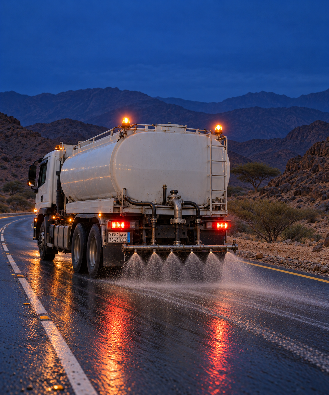
ROADS & INFRASTRUCTURE
Inspection, maintenance and road operations

MUNICIPAL SERVICES
Cleaning, public realm and city services
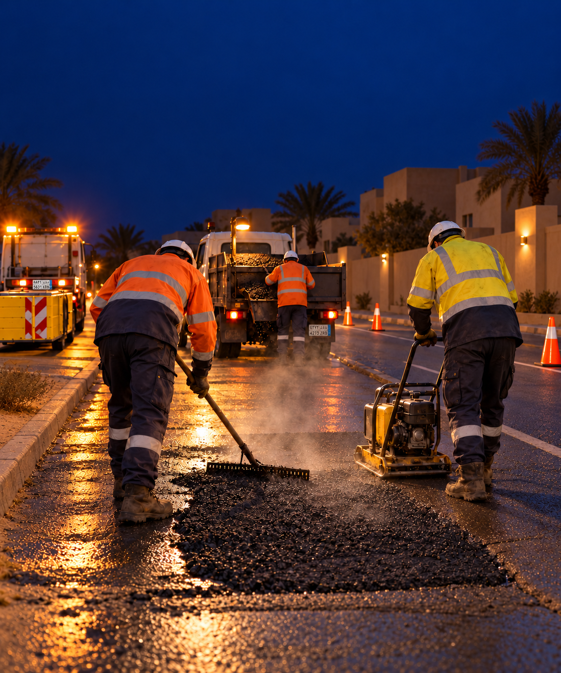
FACILITIES & PUBLIC ASSETS
Maintenance of public facilities and infrastructure
Hardware Built for Public Works
Cameras, trackers and sensors designed for specialist service vehicles and equipment. Capabilities depend on vehicle, attachment, hardware, connectivity and configuration.

AI Dash Cameras
Road and driver facing cameras with configured in cab safety alerts.

Vehicle Camera Kits
Add work area, side and reversing visibility around specialist service vehicles.

MDVR Systems
Multi channel recording across service vehicles and configured equipment.

GPS Vehicle Trackers
Track live location, route history, service coverage and configured geofences.

Sensors & Inputs
Monitor configured body, PTO and attachment activity across specialist vehicles.
More for Government & Public Works Teams
View all →
Guide
Evidencing coverage on a winter maintenance run
What proves a road was treated, and what a claim will ask you for afterwards.
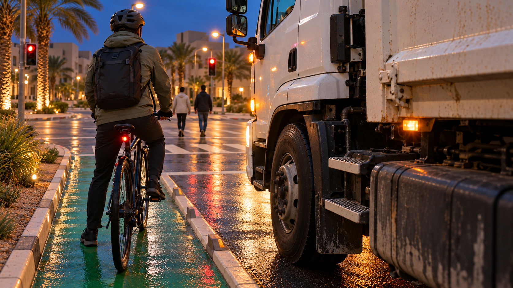
Guide
Vulnerable road users around working vehicles
Where the risk sits on a street-level service, and what coverage changes the outcome.
Guide
Reporting service levels a council can publish
Turning segment coverage and cost into a figure that stands up in a committee paper.
Deliver the Service. Keep Every Operation Accountable.
Route360 plans the work. Drive360 keeps crews, vehicles and services moving. Vision360 adds visibility and supporting evidence. One platform connecting public works from service request to completed work.